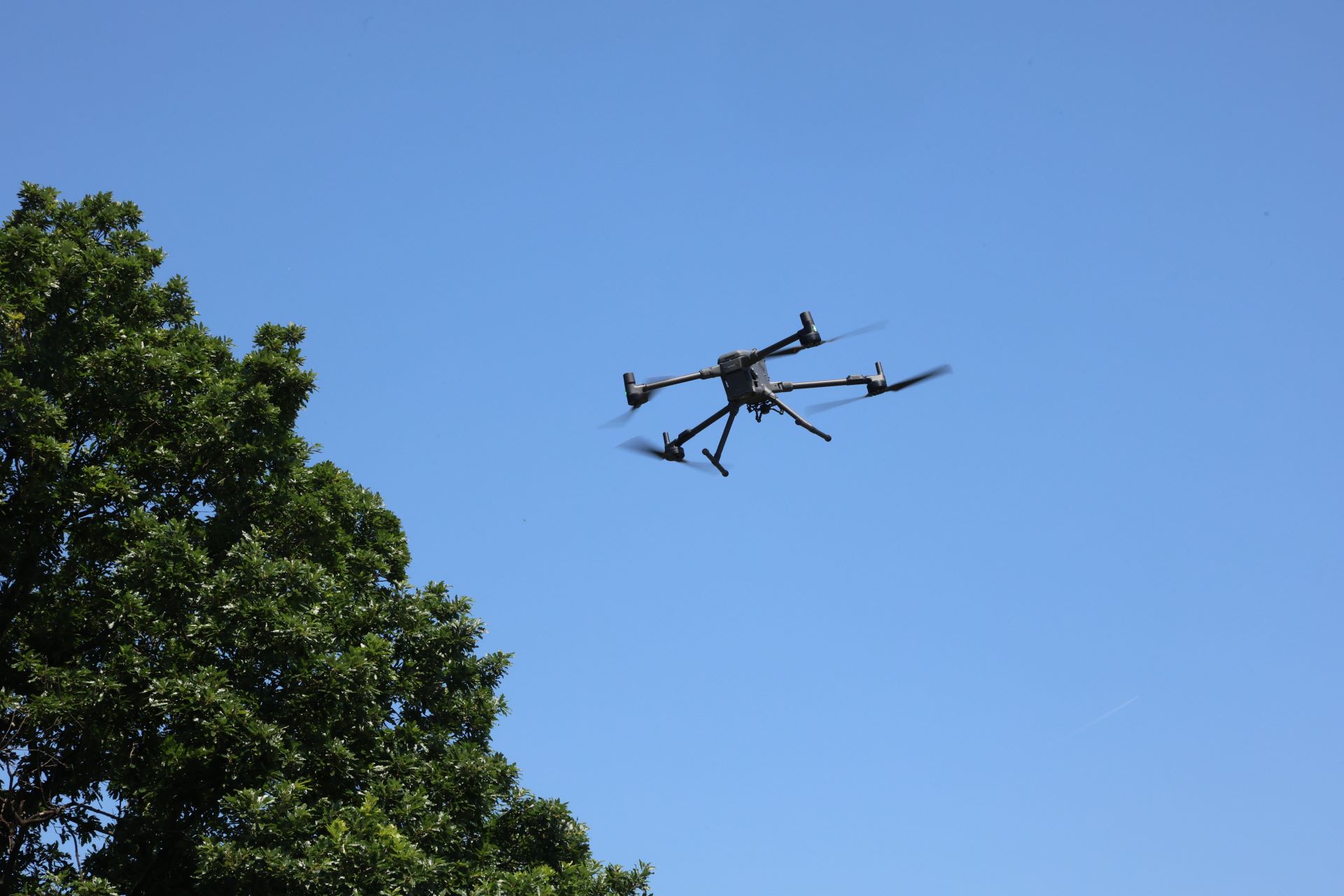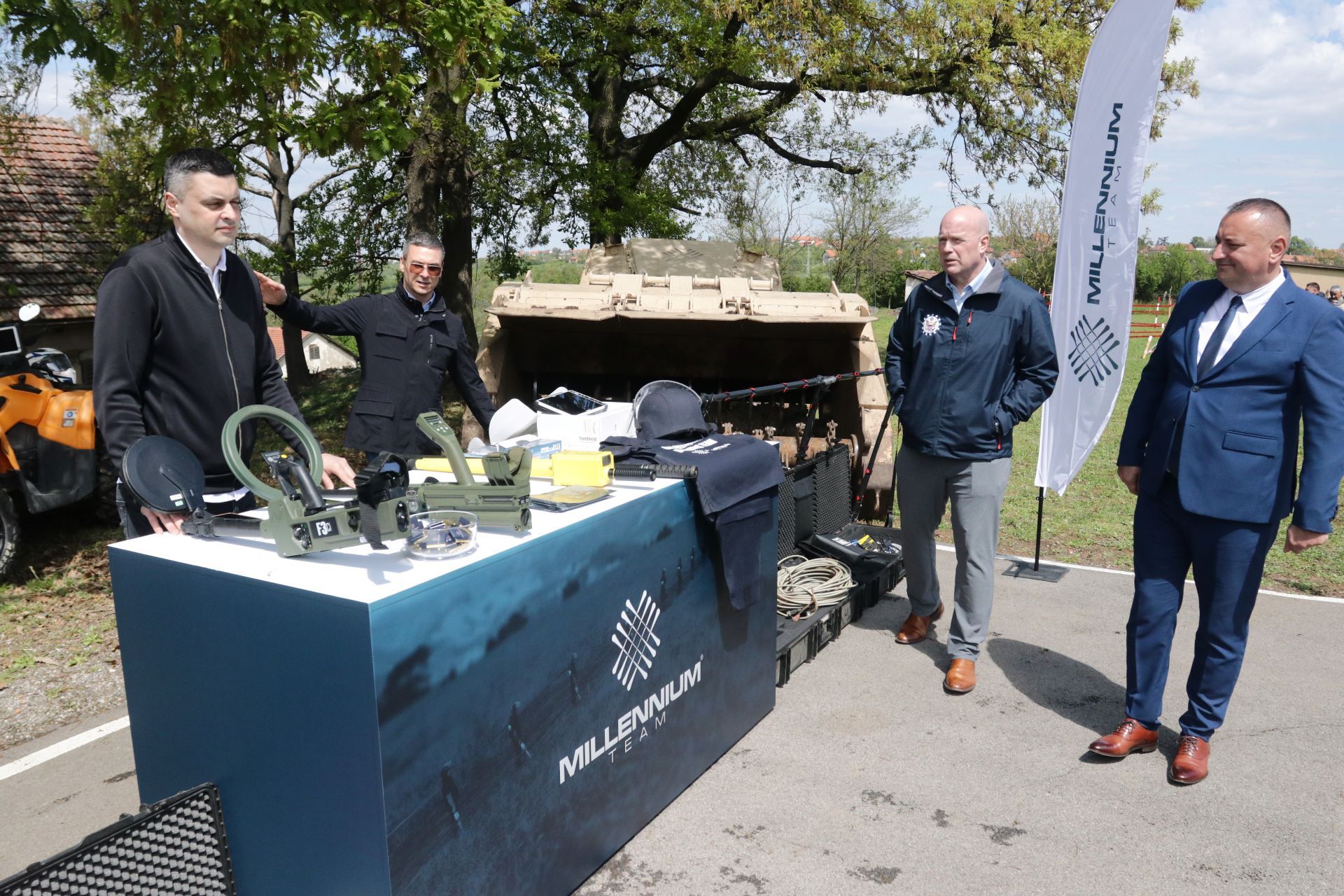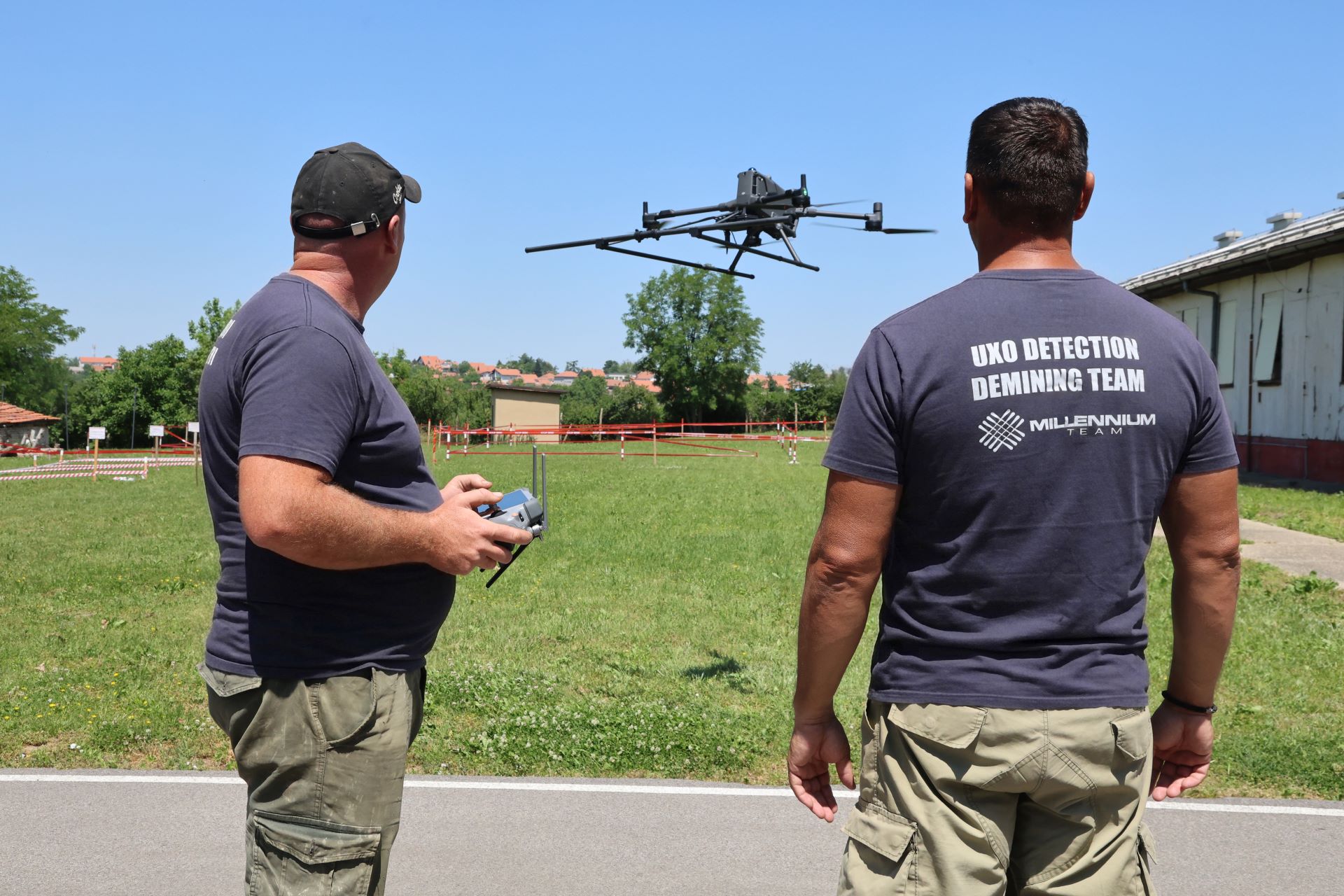
The Humanitarian Demining Sector, which already utilizes advanced equipment for the detection of unexploded ordnance (UXO), has acquired another powerful tool – a drone developed by the German company SeaTerra, one of the world’s leading manufacturers of demining equipment and a recognized European leader in explosive ordnance disposal operations. Developed over several years by a team of German engineers, this specialized drone system has now been deployed within Millennium Team’s operations, with the first commercial unit becoming part of the company’s equipment fleet.
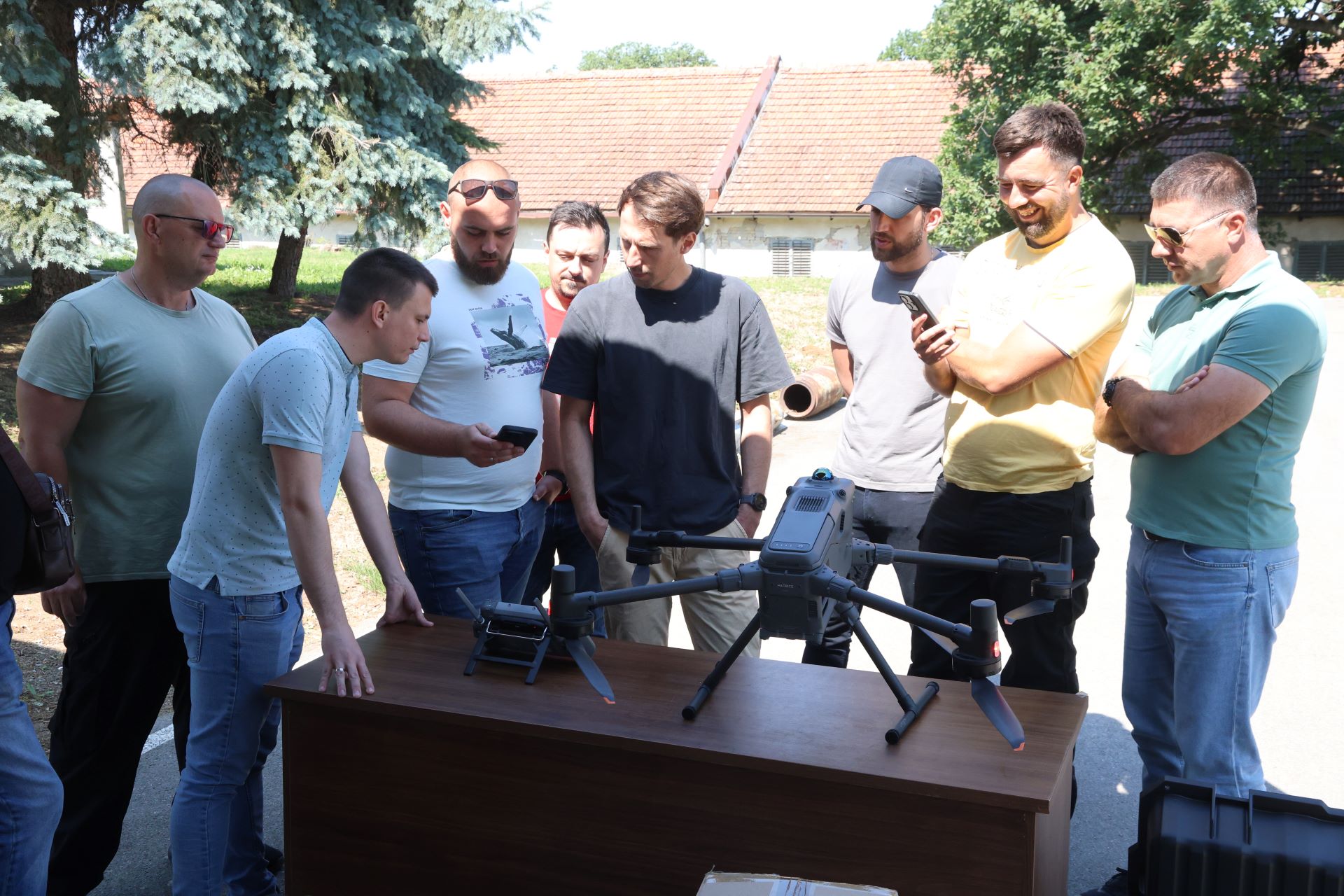
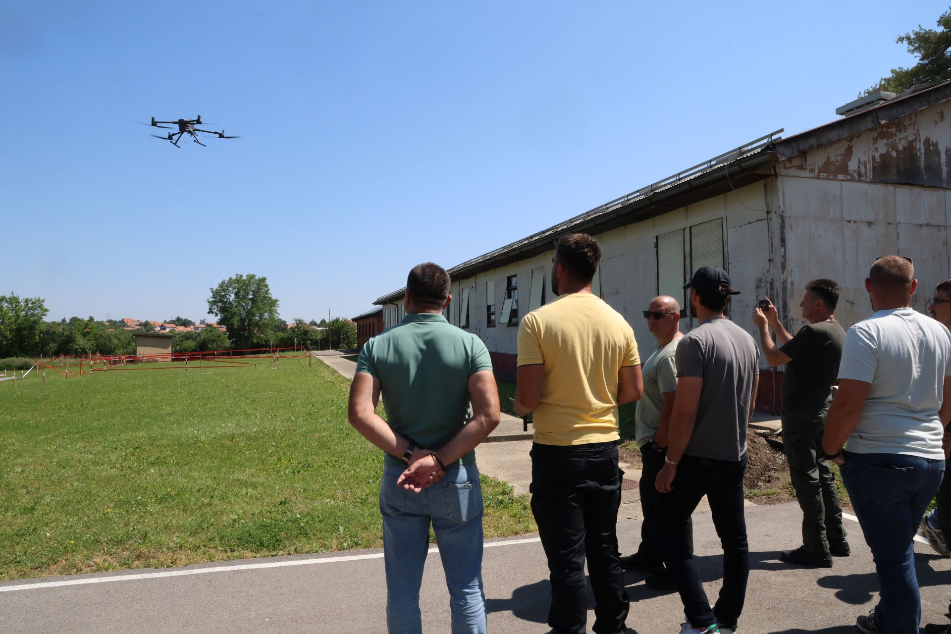
Our demining specialists also completed training for the operation of the DJI Matrice 400 drone and began using it in the field after just two days. The first part of the training was held at the Mine Action Centre of the Republic of Serbia in Velika Moštanica, while the second took place at the Srpska Kuća site near Vranje, where the Demining Sector is currently carrying out a project. The training was delivered by SeaTerra engineer Maximilian Unterberger.
According to Đorđe Krunić, Head of Operations of Millennium Team’s Demining Sector, the new drone will significantly facilitate field operations by providing capabilities that were not available with previous equipment.
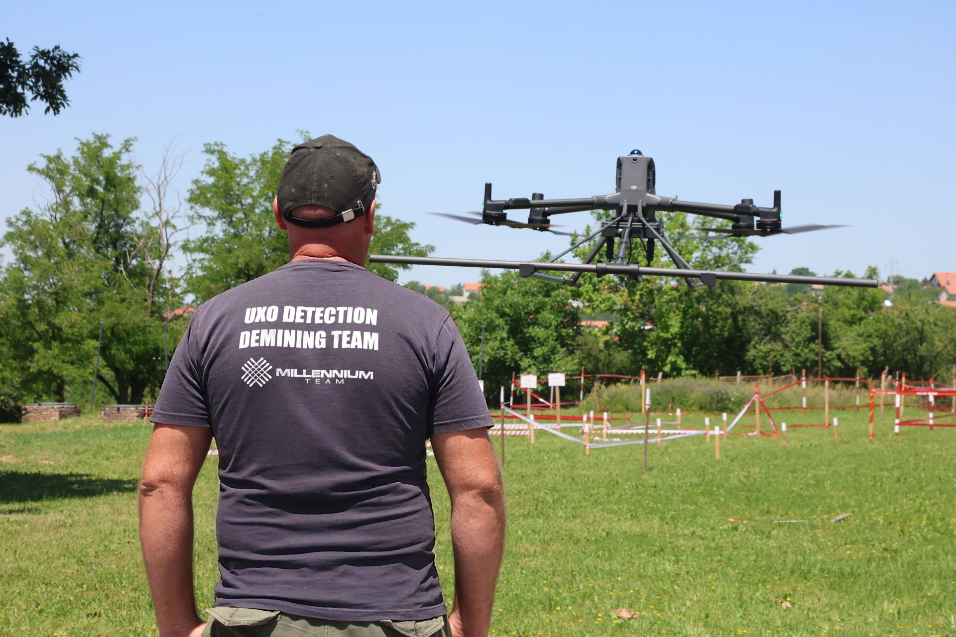
“Our technical capacities have now been further strengthened. The drone system is equipped with a LiDAR camera and a magnetometer-equipped sensor that enables precise terrain mapping and the detection of UXO at depths of up to six metres. The drone can fly as low as 50 centimetres above the ground, ensuring highly detailed data collection,” explained Krunić.
“LiDAR technology enables terrain mapping even when the area is covered by dense vegetation, as the system emits signals and generates an accurate model of the terrain based on the returned data. The drone is equipped with four magnetic sensors operating across three axes, continuously recording magnetic data during flight and enabling fast and efficient magnetic surveys with a high level of accuracy.”
A key advantage of this system is its effectiveness in challenging terrain. It enables faster and more efficient project implementation while further enhancing safety in the field.